Trail stats
Distance: 21.2 KM (out-and-back)
Elevation gain: 1,180m
Time needed: 7-8 hours
Difficulty level: Moderate
Parking: Yes, there is a large carpark at Lightning Lake with several toilets too. However, this is a very popular location so be prepared for a crowded lot. There is space to park on the right-hand side of the road too as you approach the parking lot.

Getting to the trailhead
Frosty Mountain is the highest peak in Manning Park at 2,426 metres tall. Manning Park is about 2.5 hours drive from Vancouver (traffic not included). The trailhead is located at Lighthing Lake, which is another popular day-hike. As it’s located in Manning Park, there will be lots of dayhikers and campers alike, so expect a crowd.
The Trail
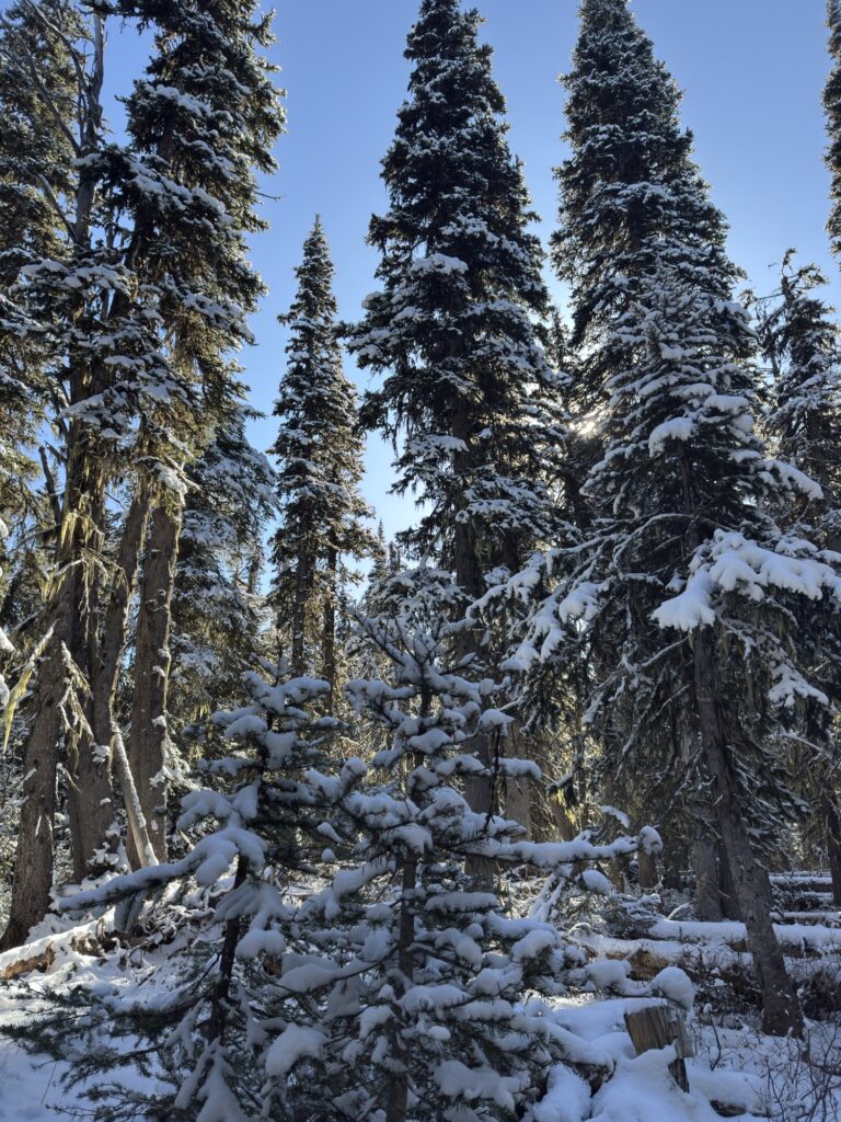
The most popular time of year to do this hike is in larch season, which is usually at the end of September – mid October. We did this on Thanksgiving, and literally just missed the larches! It had snowed on Saturday night, meaning by Sunday, the trees were covered in snow and most of the golden needles had fallen off. Thankfully, the views are still incredible so even without the vibrant golden meadows I was expecting, I’m still ranking this as one of my favourite hikes with one of the best views I’ve witnessed!

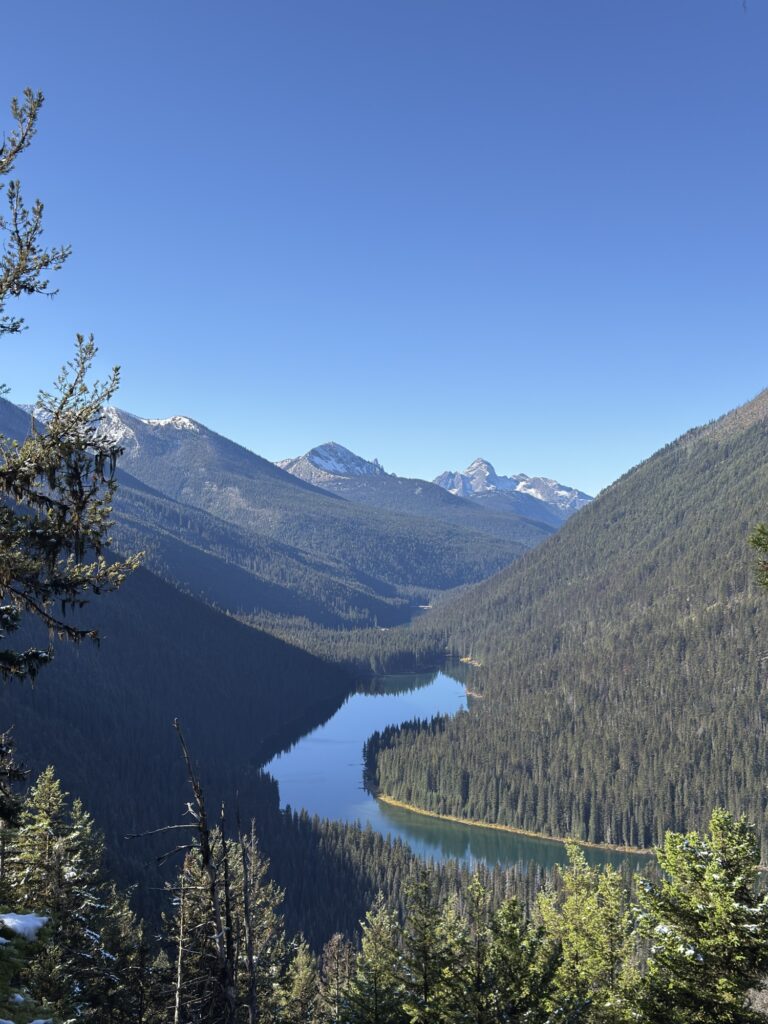
The trail begins at Lightning Lake, head toward the entrance of the carpark then turn right towards the lake. You will see a sign that indicates the trail for Frosty Mountain is left, whereas the Lighting Lake loop is to the right. The lake will be in and out of your eyeline for the first couple kilometres as you climb up switchbacks through forested terrain. It was pretty cold doing this in mid-October, especially since the tree cover hides the warmth of the sun.

At around 7KM in, you will reach Frosty Creek camp. It took us just under 2 hours to get to this point, and by now you’ve already climbed 660 metres, so you’re over halfway in terms of elevation gain! There are several tent pads and an outhouse here – reservations are required from July to mid-October.

As you make your way through and follow some more switchbacks, you will eventually be greeted by the first glimpse of the (hopefully) golden larches. This first introduction is just a taste of what is to come, as you will eventually reach a whole meadow of trees. Up until this point, the hike is more or less completely sheltered by trees, but from here on out the landscape opens up and the views are incredible. This section provides great views of Frosty Mountain and the valley below.


The last kilometre is a full ascent which involves some scrambling up a boulder field to reach the ridgeline. There is no specific trail, but since you won’t be the only one there, it is best to follow the crowd as this section is steep and some rocks are loose. A lot of people didn’t have spikes and they were struggling as it was very slippery, on the way up and down. You will have to stand aside to let others pass one at a time, as it is quite sketchy especially for those who are ill-prepared.


Once you get to the top, there is a warning sign to use extreme caution from that point on. The next few hundred metres trail across the ridgeline until your final climb to get to the peak.
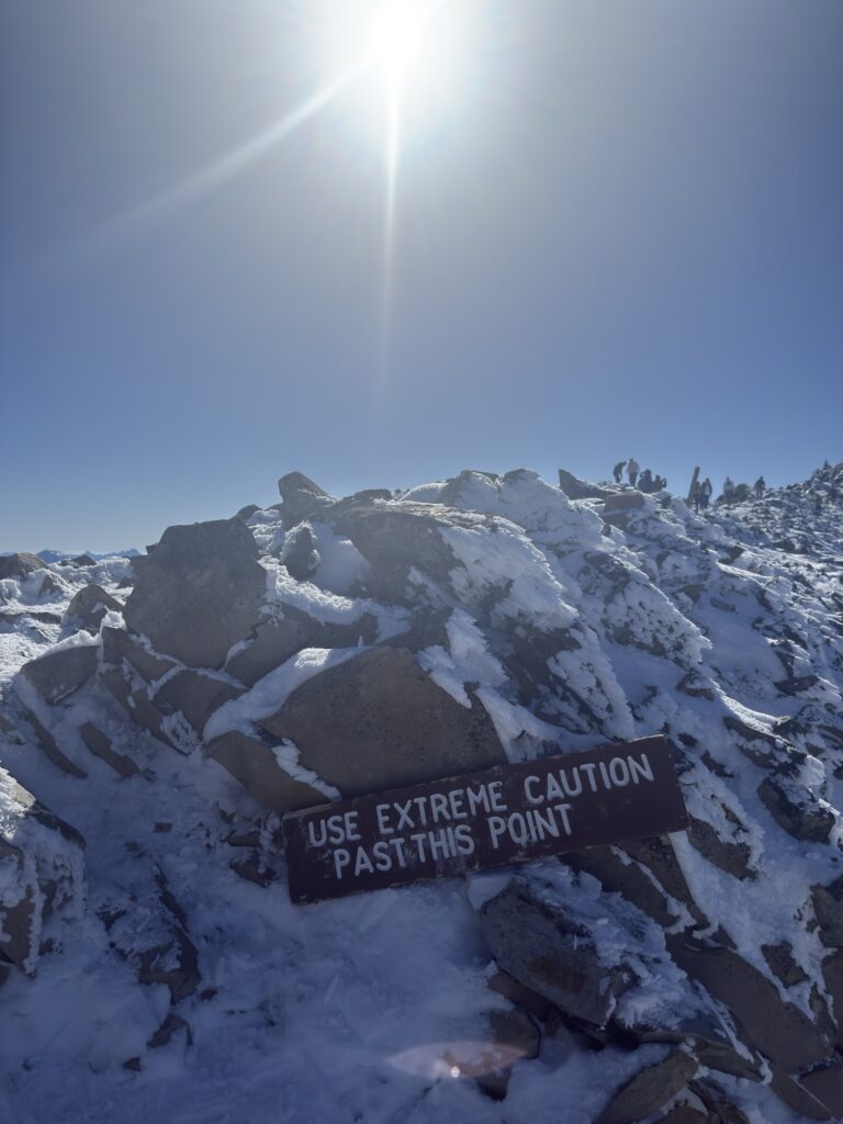


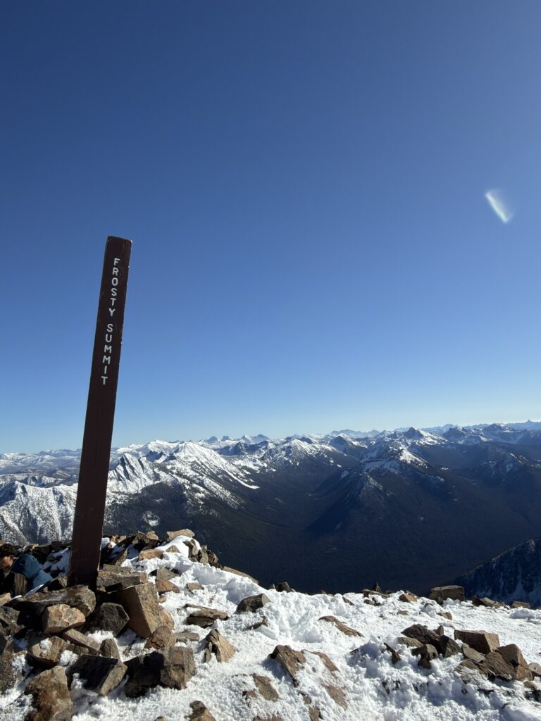
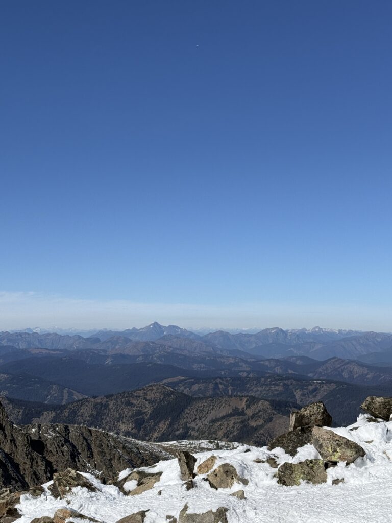
You will be rewarded with 360 views of the most incredible peaks. It took us about 3.5 hours to reach the summit.

This trail is out-and-back, so you will be going back the same way. We found the conditions worsened as the day progressed, undoubtedly due to the heavy foot traffic and the temperatures and lack of sunlight causing the snow to freeze over. So be cautious! Around 4KM from the trailhead, the icy conditions shifted to mud, which was equally as slippery.


Tips / Advice
Check AllTrails for the most up-to-date conditions and reports of larches!
Spikes are needed for the snow at the top as the last kilometre is sketchy and slippery.
There are toilets at the trailhead, and 7KM in at the Frosty Creek campsite.