Trail stats
Distance: 9 KM (out-and-back)
Elevation gain: 701m
Time needed: 3-3.5 hours
Difficulty level: Moderate
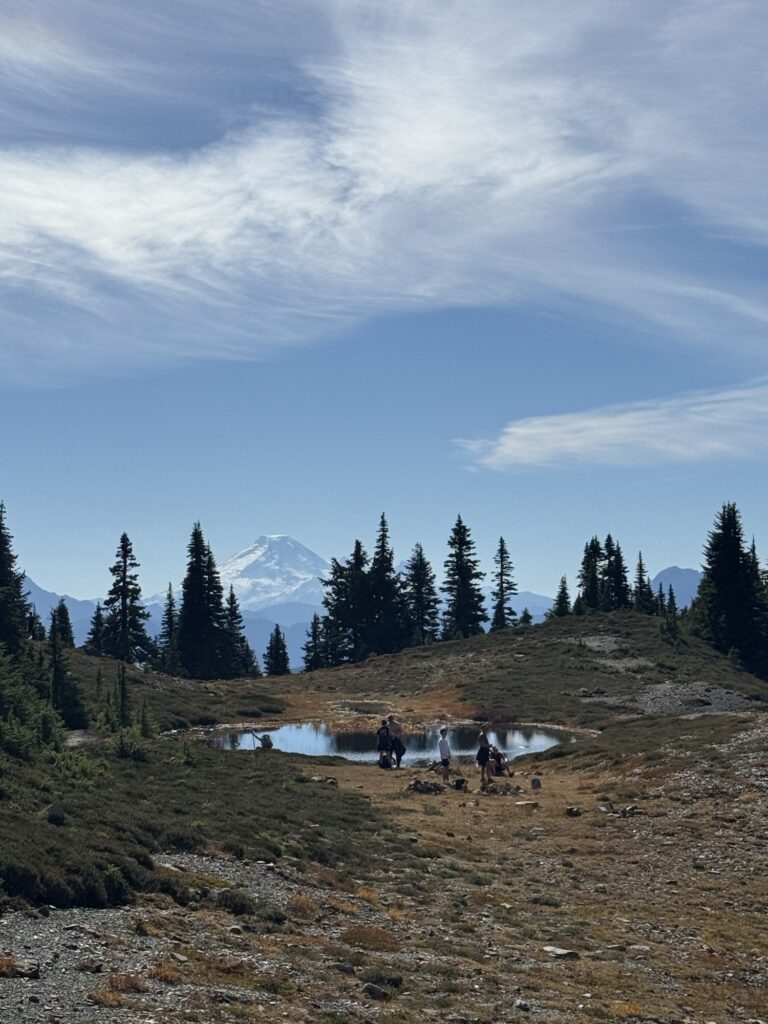
Parking: Yes, there is a parking lot at the trailhead and plenty of room to park along the side of the road too.
Getting to the trailhead
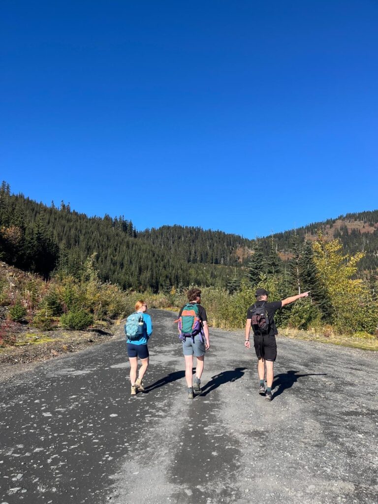
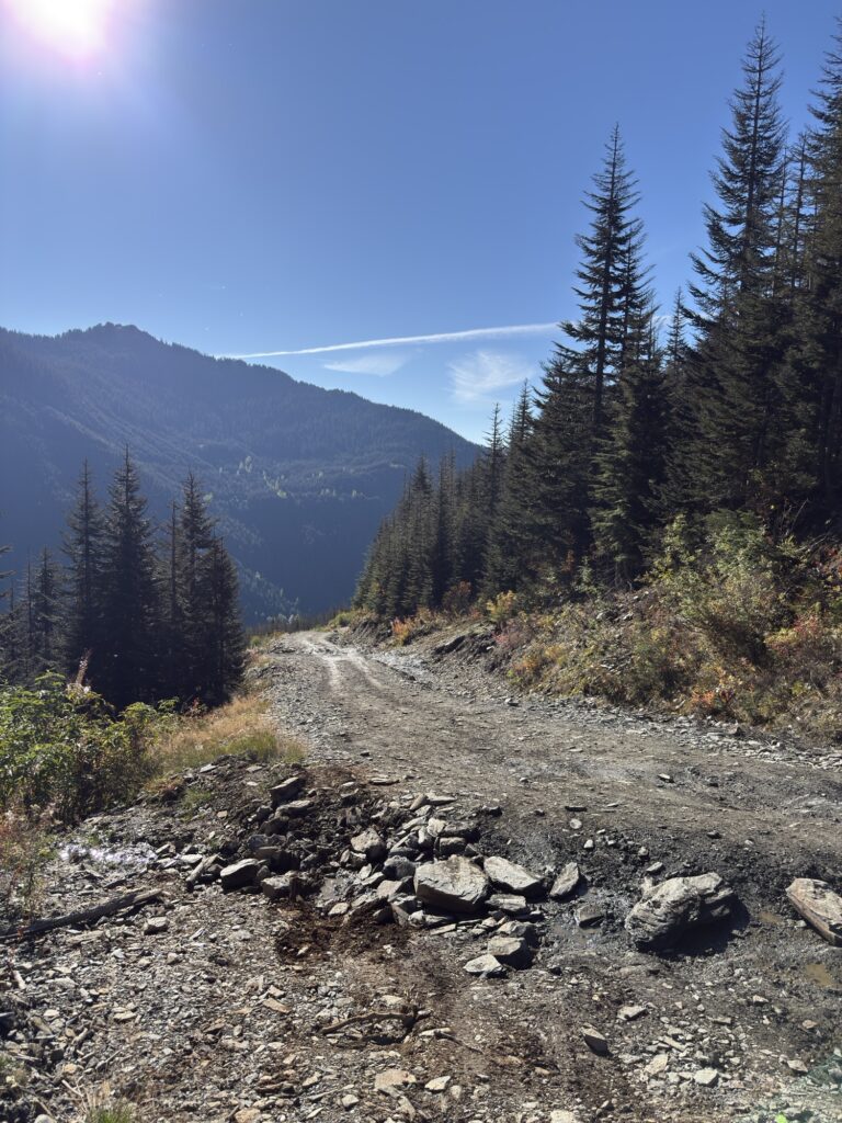
Cheam Peak is located in Chilliwack, down the Chipmunk Creek Forest Service Road that certainly requires a high-clearance vehicle. It is approximately 2.5 hours drive from Vancouver, and it is an extremely popular trail despite the difficulty of reaching the trailhead. Lots of trucks were letting air out of their tyres at the beginning of this 11KM rough road as the terrain is loaded with rocks of all sizes and plenty of deep divots. The first few kilometres are completely fine, but as the road climbs higher, the conditions worsen.
We were 10KM in when we reached an extremely deep divot that we got momentarily stuck in and required several tries to move past. Directly after this was a smaller divot that was very wet, so our tyres kept skidding in the mud. There was a line up of trucks ahead of us as everyone was struggling. We made it past this point in our AWD, but it was pretty scary and I wouldn’t recommend it unless you have a brave driver behind the wheel!
The Trail
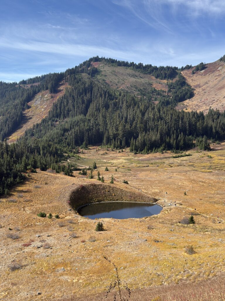
The trail itself is straightforward and easy to follow. The first kilometre is flat so you ease your way in until you reach Spoon Lake, which is very unique looking. This is where your climb begins, but it is a very short hike so the struggle won’t last long.
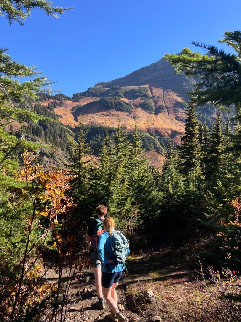
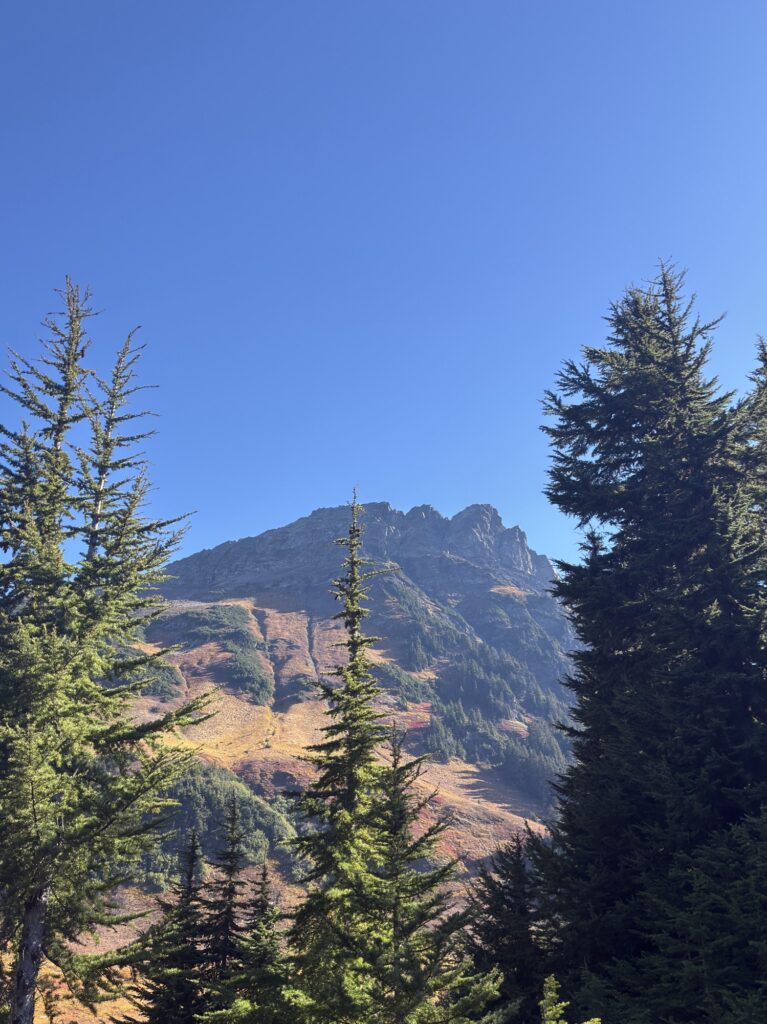
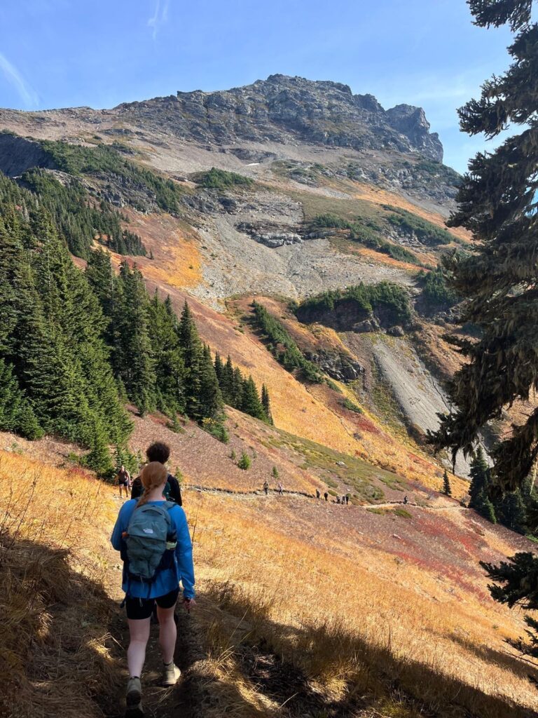
The trail continues uphill and to the right through some trees, until it opens back up and continues toward the left – switchbacks continue for most of the trail, making the climb less steep. There is another hike you could do here called Lady Peak, around the 2.5KM mark there is a path that heads right, but this is a much more difficult hike that involves scrambling.

Some paths have signs to inform that the area is environmentally sensitive. Don’t be a dick and take the shortcut like we saw several people doing :))) These areas are protected for a reason!!

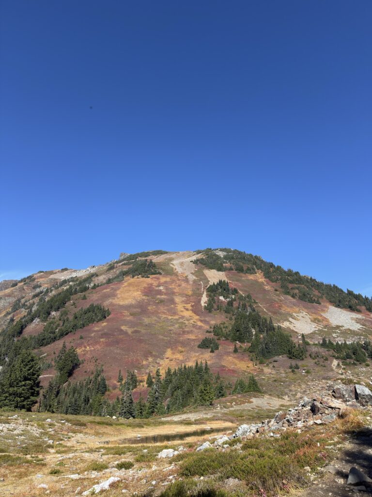
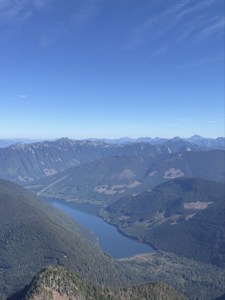
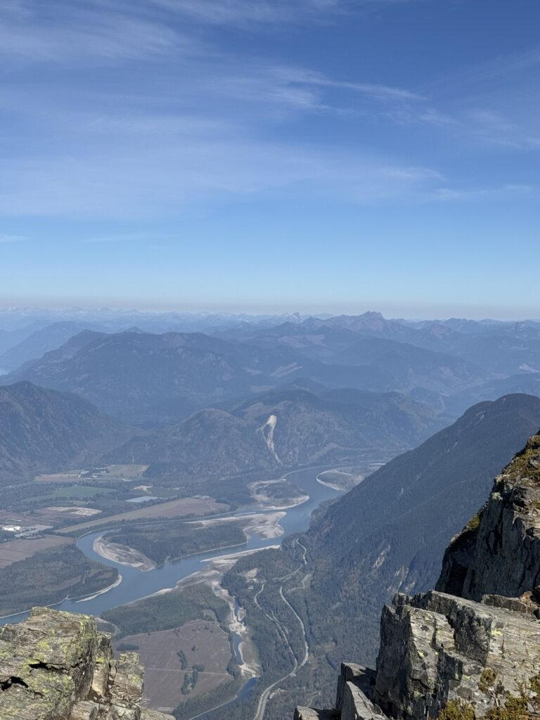
Although the trail is short, it is significantly steep and it is not uncommon for snow to be near the top so be prepared. The views from the top are so incredibly expansive, it makes the effort totally worth it as you can admire the entire Fraser Valley below.

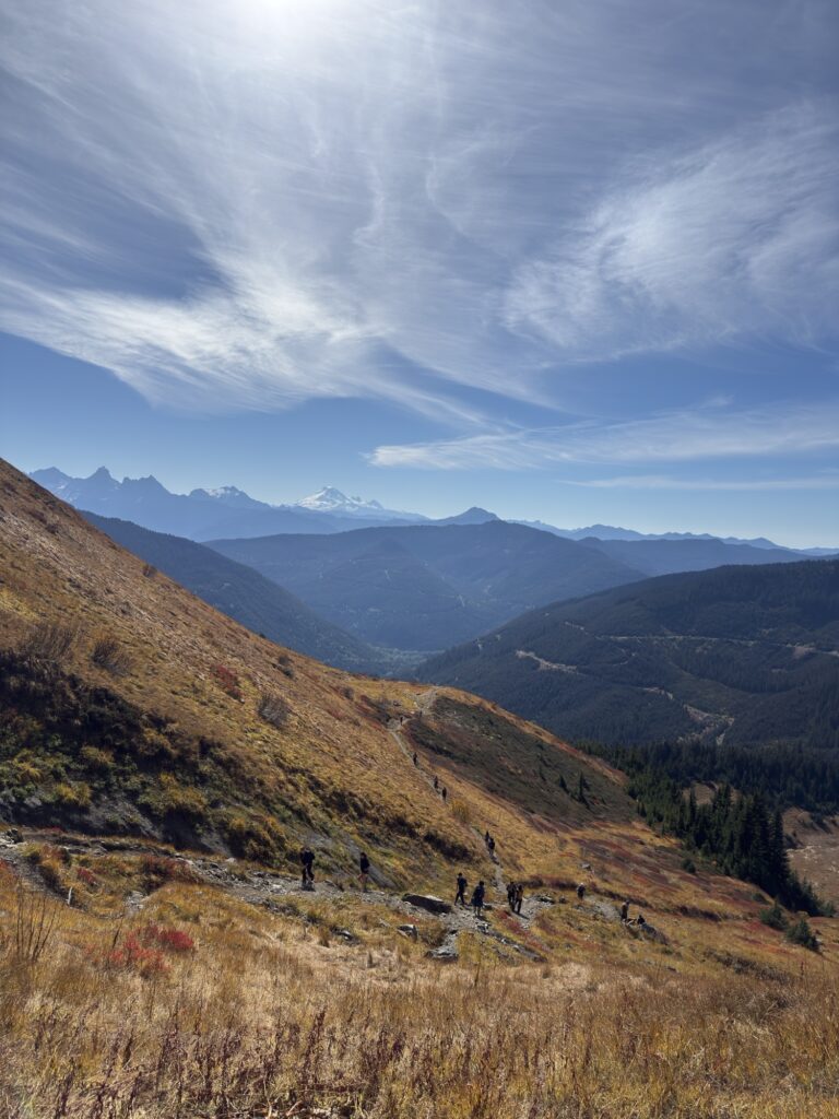
The trail is out-and-back, so you will follow the same path back down. The views on the way down are amazing, granting this hike a very high spot on my list of favourites!


Tips / Advice
A high-clearance vehicle is essential to make it to the trailhead.
We did this in autumn and the colours of the trees made the landscape appear incredibly beautiful.
Check the weather before you go as there can be snow at the top.