Trail stats
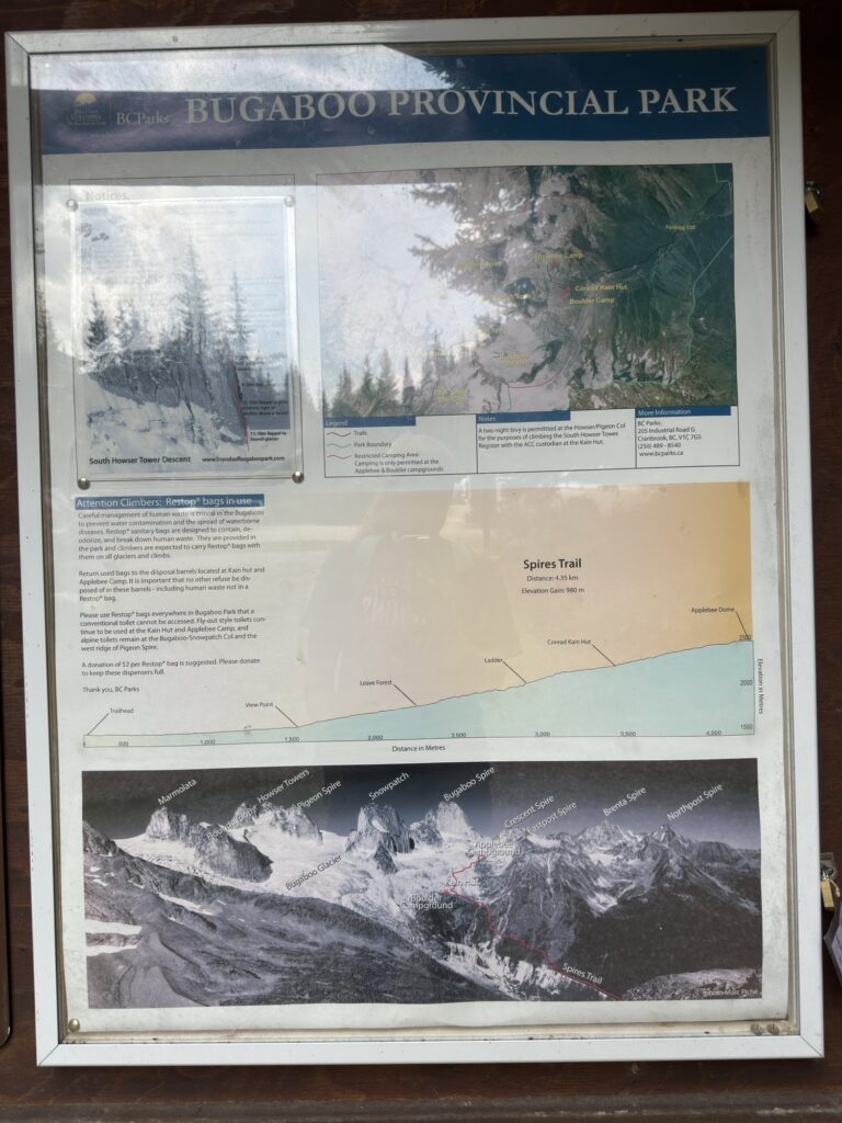
Distance: 9.8 KM (out-and-back)
Elevation gain: 989m
Time needed: 4-5 hours
Difficulty level: Difficult
Parking: Yes, there is a carpark at the trailhead where there is a supposed risk of porcupines damaging your car – so be sure to use the chicken wire/rocks/sticks that are up there for protection!
Getting to the trailhead
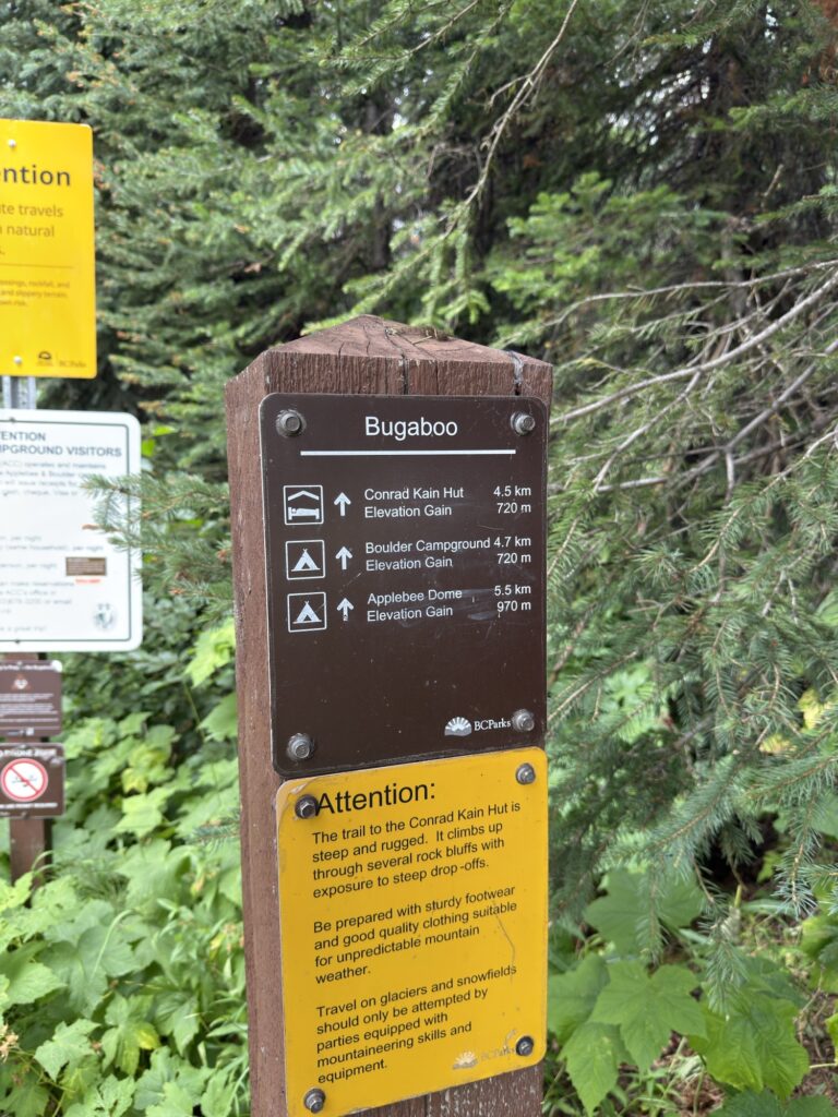
The trail is located in the Purcell Mountains, between Golden and Radium Hot Springs. You turn off the road in Brisco which is about 20 minutes outside of Radium. Once you see the sign for Bugaboo Provincial Park, you’ll be turning onto a Forest Service Road for approximately 1 hour.
Google Maps offers a few options here so be sure to take Bugaboo Creek Road and not Bugaboo Diversion Road – according to recent AllTrails reviews, the diversion road leads to a dead end.
The road starts out pretty bad (typical FSR with potholes and loose rocks), but it gets fairly evened out until the last few minutes where it’s a bumpy ride until the parking lot.
The Trail
The trail begins with a very misleading kilometre of flat ground through a forest. Enjoy it while you can 🙂
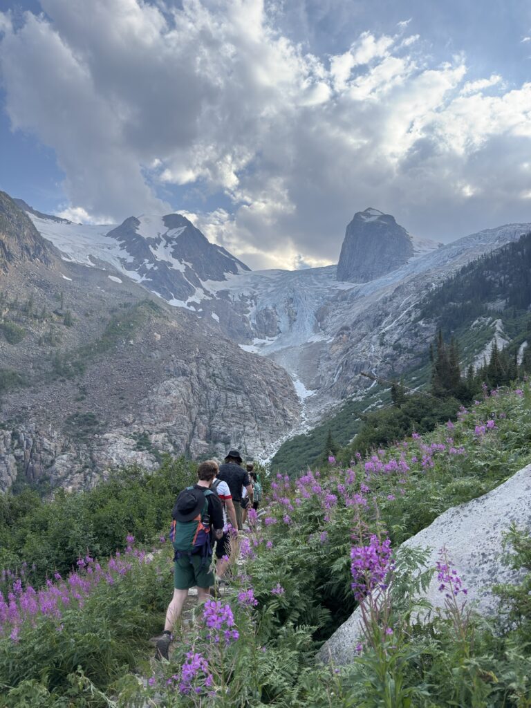
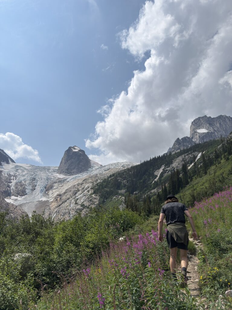
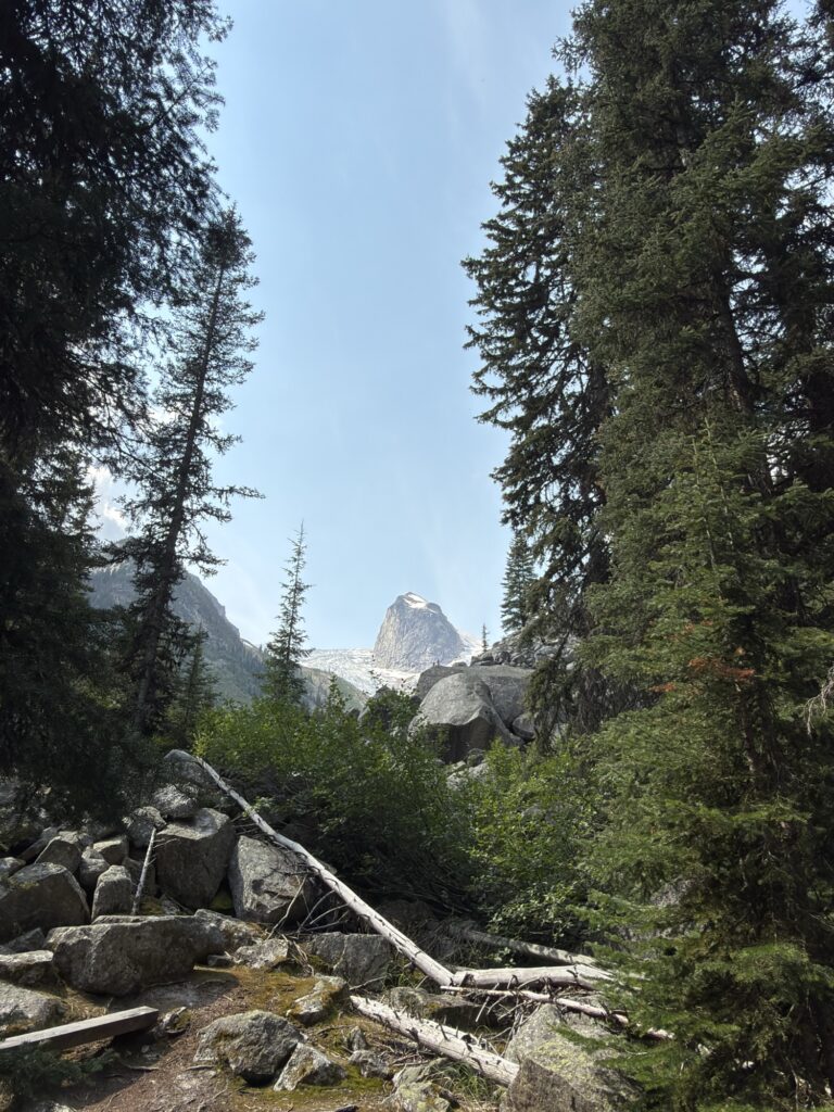
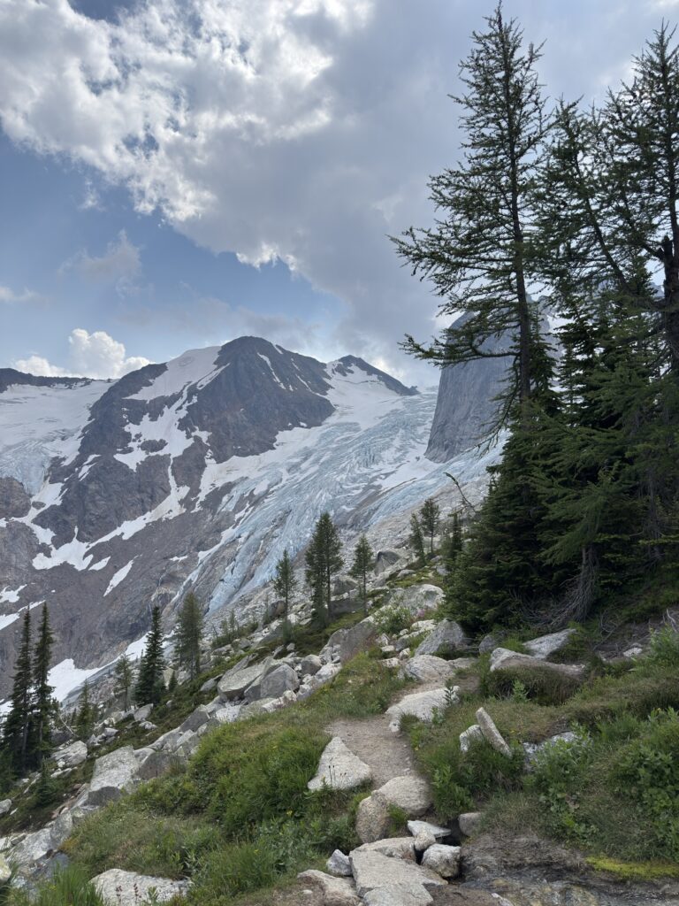
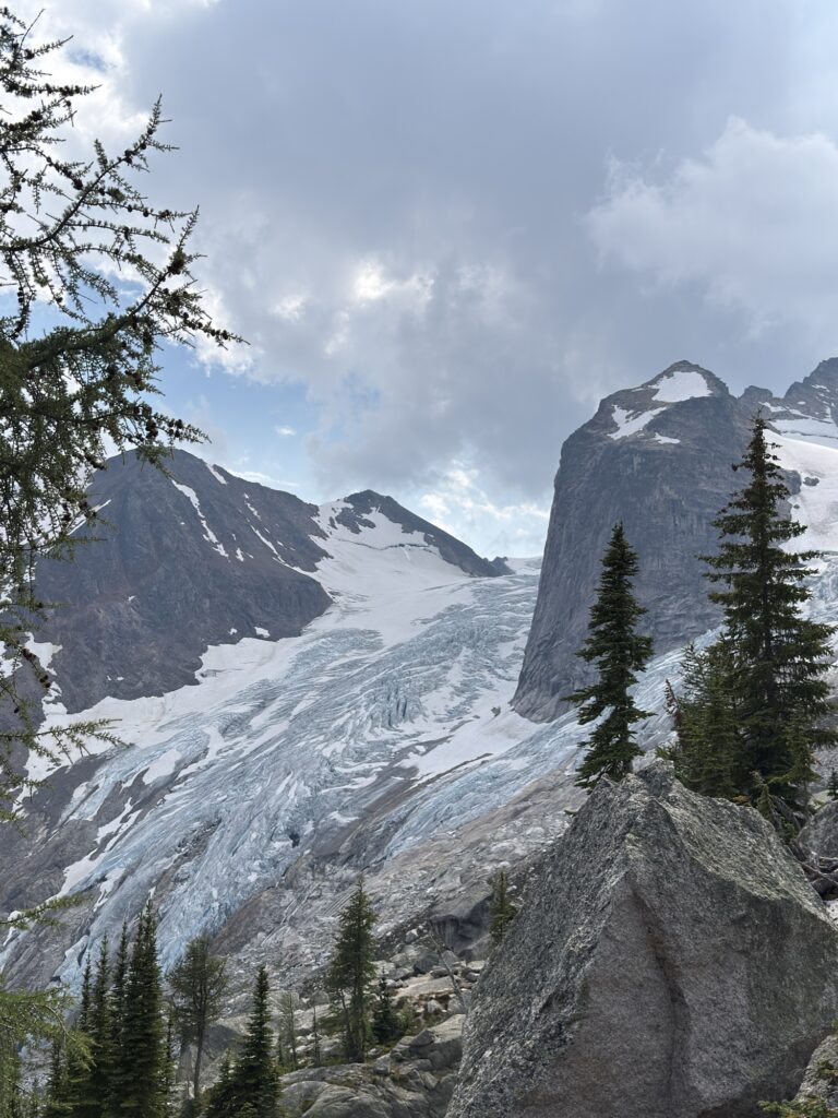
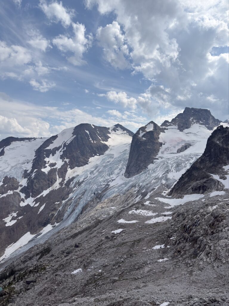
Eventually, you break out of the forest and begin the climb up some rocks with a well laid out path and steps (think Grouse Grind level steps). Here you’ll see the Bugaboo glacier that you will have seen as you approached the parking lot, and the view pretty much remains for the rest of the journey. It is really cool to climb alongside the glacier, more details emerging with each step.
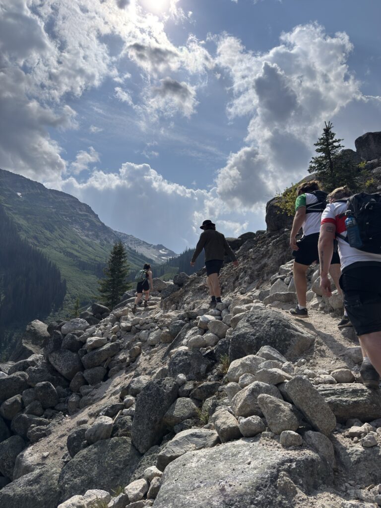
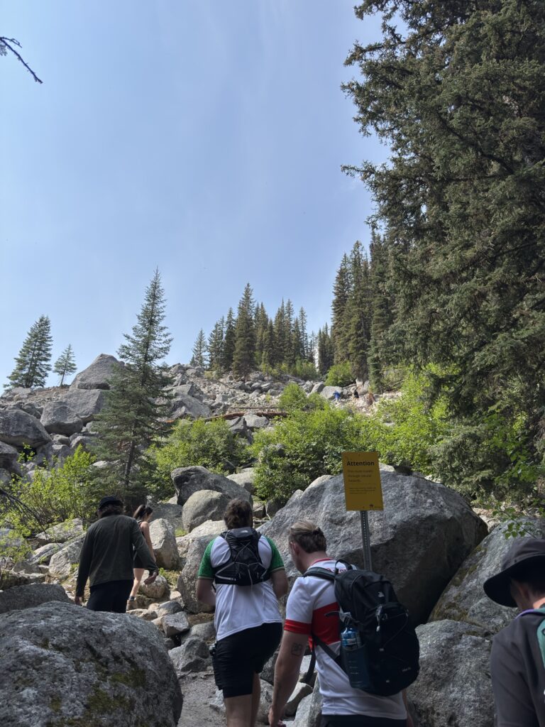
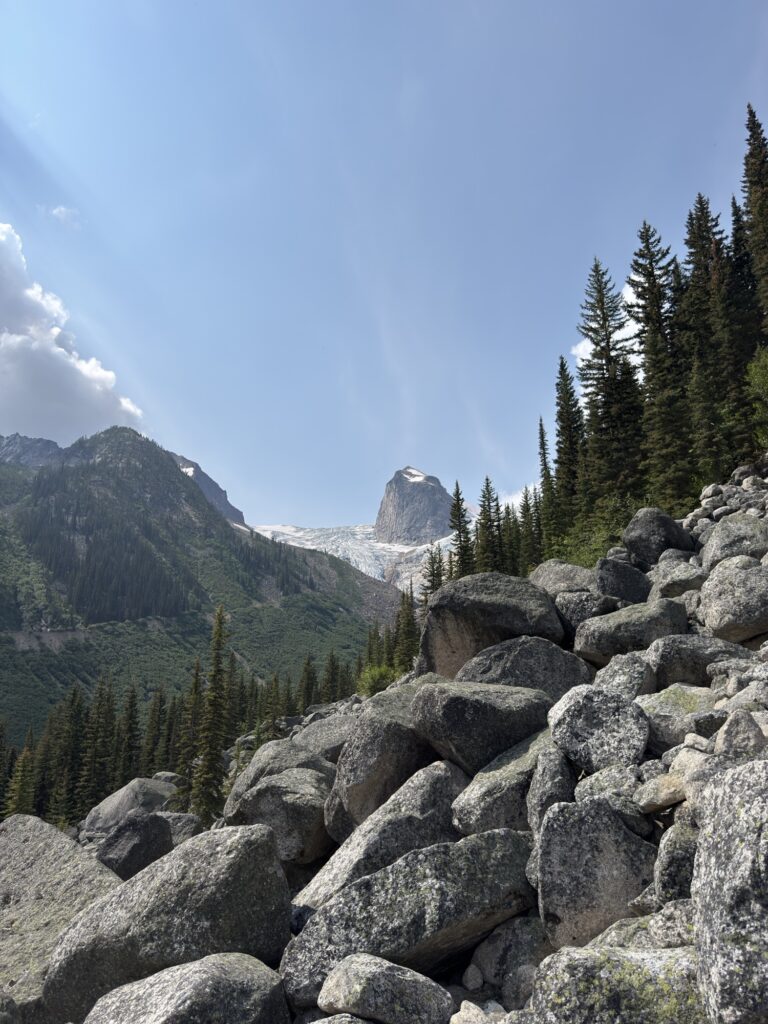
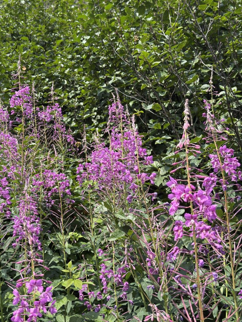
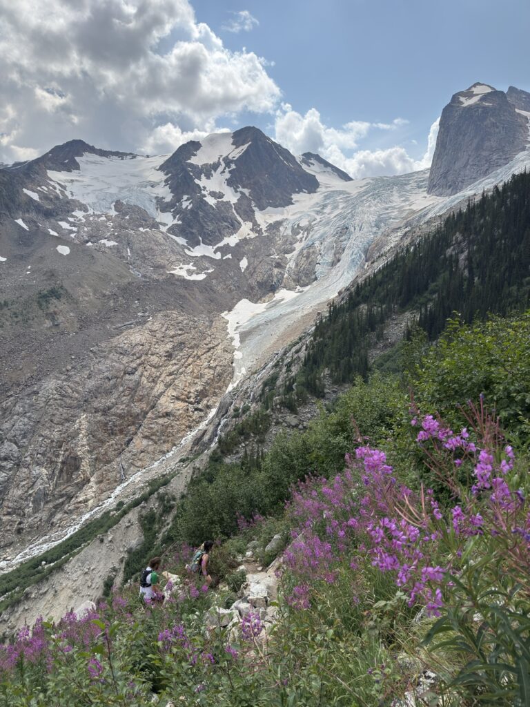
As you follow the switchback path up the rocky terrain, you’ll find yourself going back into the trees following a stream for a bit. After a steep few hundred meters, you’ll be greeted by a wildflower meadow, with the perfect view of the glacier back in sight. The walk through the meadow is short and not as steep but it doesn’t last. This area is marked as a “Viewpoint” and some people turn back after this point (we reached it in about 30 minutes so it’s not much of a hike – definitely keep going!)
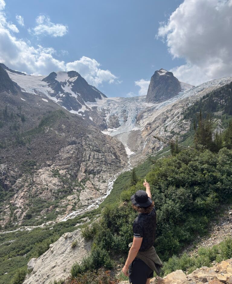
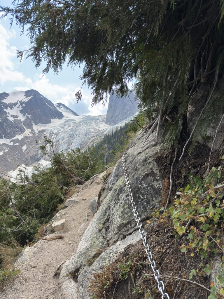
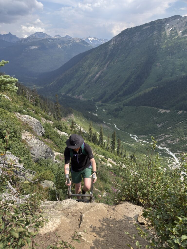
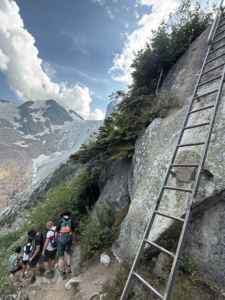
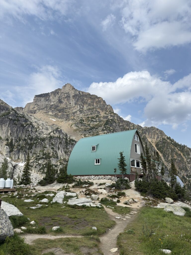
The climb continues up through the meadow, with switchbacks following a narrow path and the fun starts here as you will be assisted by several chains and a ladder. The chains weren’t that necessary, but the path is very narrow on the cliff’s edge so it does help if you’re a bit nervous with heights. Looking back at my AllTrail stats, the 4th kilometre covered 342m of elevation, so this is the steepest section! Eventually, you will reach a bridge that crosses a fast flowing stream and you are almost at the hut. Follow the trail up to the left for another few hundred meters, and the Conrad Kain hut will appear in your eyeline.
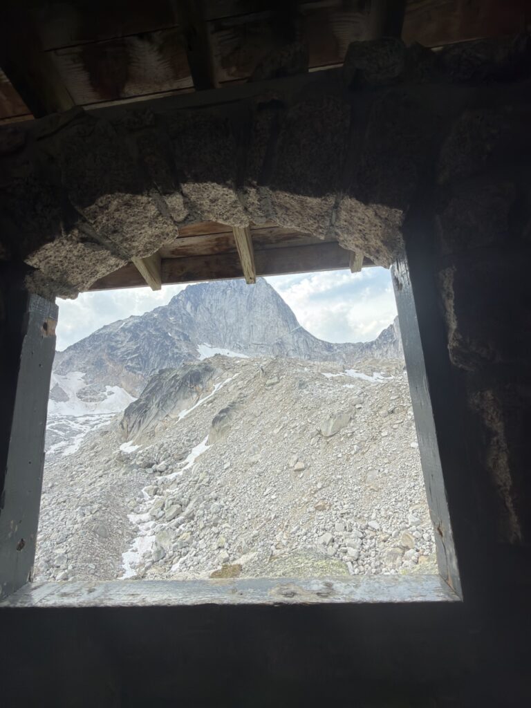
This is a good place to stop for lunch before continuing on to Appledome. Boulder campground is located on the left of the hut, closer to the glacier and is another option if you decide to overnight it.
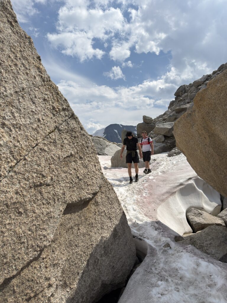
By this point, you will have climbed around 700m over 4KM. To get to Applebee, it is another kilometre and around 200m elevation – so the grind continues following the steep, rocky steps up to the campground. There was still a bit of snow that we had to cross over (mid August), but we were fine doing it just in hiking boots.
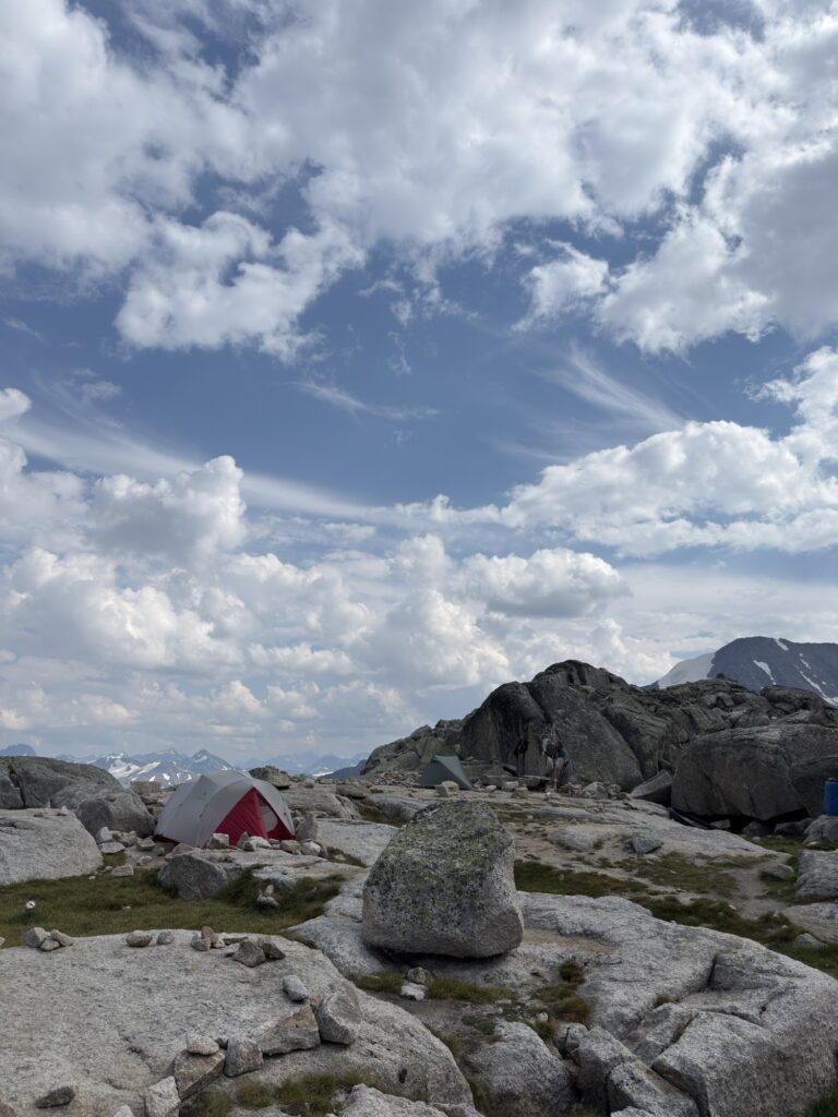
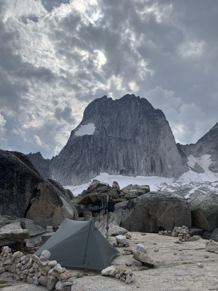
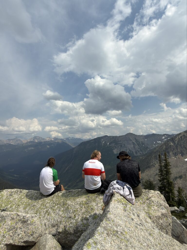
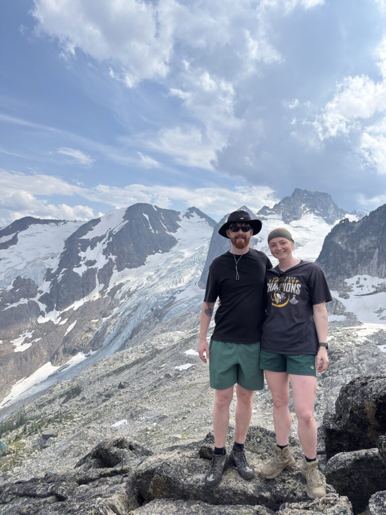
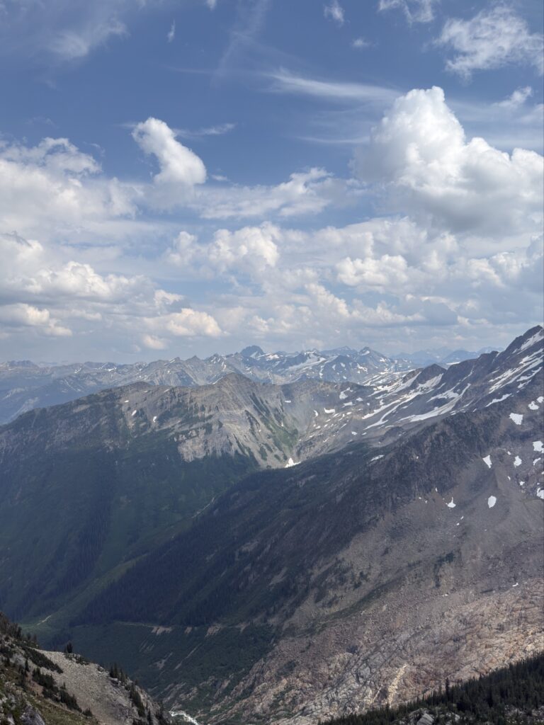
It took us 3 hours to get to Appledome campground (not including a lunch break at the hut) and we climbed to the most accessible peak that looked down over the hut. There were quiet a few campers, all rock climbers who had their tents set up and spread out in the area. There are bear hangs and pit toilets, and lots of space to set up camp. I imagine it gets very cold at night considering you’re at 2600m elevation and surrounded by glacial peaks.
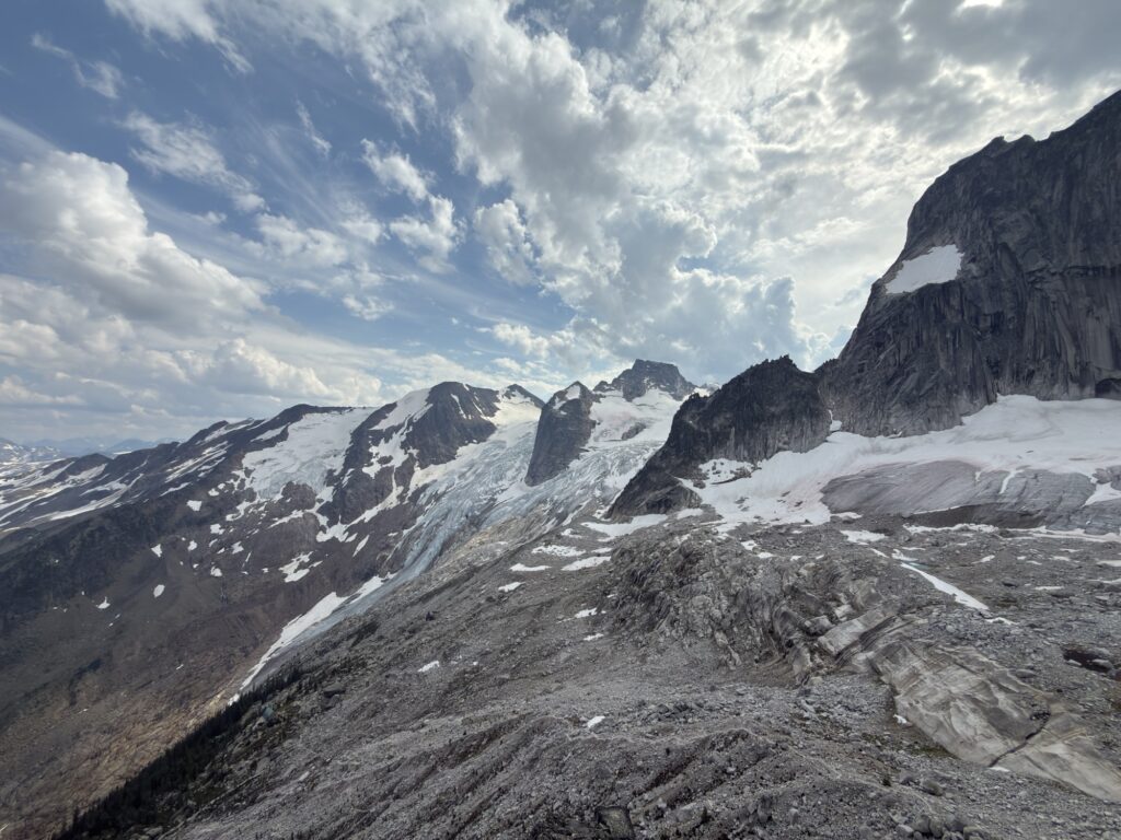
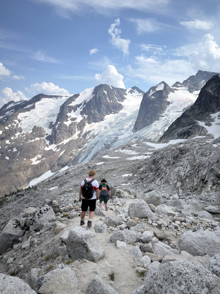
Since the way back is all down hill, we did it super fast. Our total moving time for the whole hike was 3 hours 45 mins.
Tips / Advice
Protect your car with the leftover chicken wire
There is an outhouse at the trailhead, the hut and at Applebee Dome
There is plenty of water sources on the trail and near the campsite so bring a water filter
The Conrad Kain hut needs to be booked through the Alpine Club of Canada ($25 pp)
Camping reservations can be made through BC Parks