Trail stats
Distance: 17.4 KM (out-and-back)
Elevation gain: 710m
Time needed: 4-5 hours
Difficulty level: Moderate
Parking: Yes, but you need to drive around 8 KM down a FSR so a high-clearance vehicle is advisable. The last 4 KM are the worst, so you could park your car and add some kilometres to your hike if necessary.
Getting to the trailhead
The trail begins at the end of the extremely rocky Mamquam Forest Service Road. This FSR is pretty busy as there are several trails and the area is a hotspot for bouldering, camping and mountain biking. The first few kilometres are doable as the road is in pretty good condition, but once you pass the construction site you will realise why a high-clearance vehicle is required. As mentioned above, some people leave their cars as the road is covered in large rocks, potholes, and is quite narrow at points. There are several spots where you can pull in, but if you decide to go all the way to the trailhead, the carpark is relatively small but there is space to park on the side of the road.
We left Vancouver at 7:00 and arrived at the trailhead at 9:00. There were around 20 vehicles at the trailhead but when we came back down around 3:00 PM, the cars stretched even further down the road. This is evidently a popular trail because of its proximity to Vancouver/Squamish, and because you are permitted to camp at the lake, you can expect traffic coming and going at all hours throughout the day.
The Trail
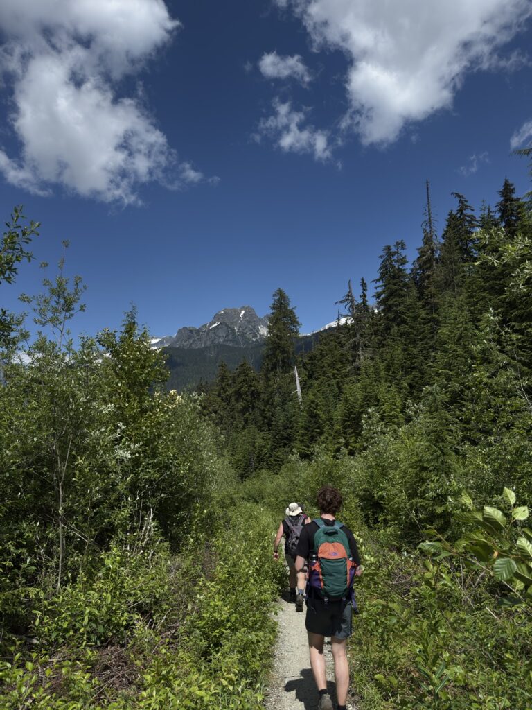
The trail begins steadily climbing up a gravel road until you reach a forested area with muddy terrain but with several wooden platforms in place to avoid the worst of it. After this section, the trail opens out onto more gravelly terrain and is fairly even for the next couple kilometres. I was surprised at how easy the trail was, I was expecting a lot more incline and difficulty since it’s rated as hard on AllTrails.
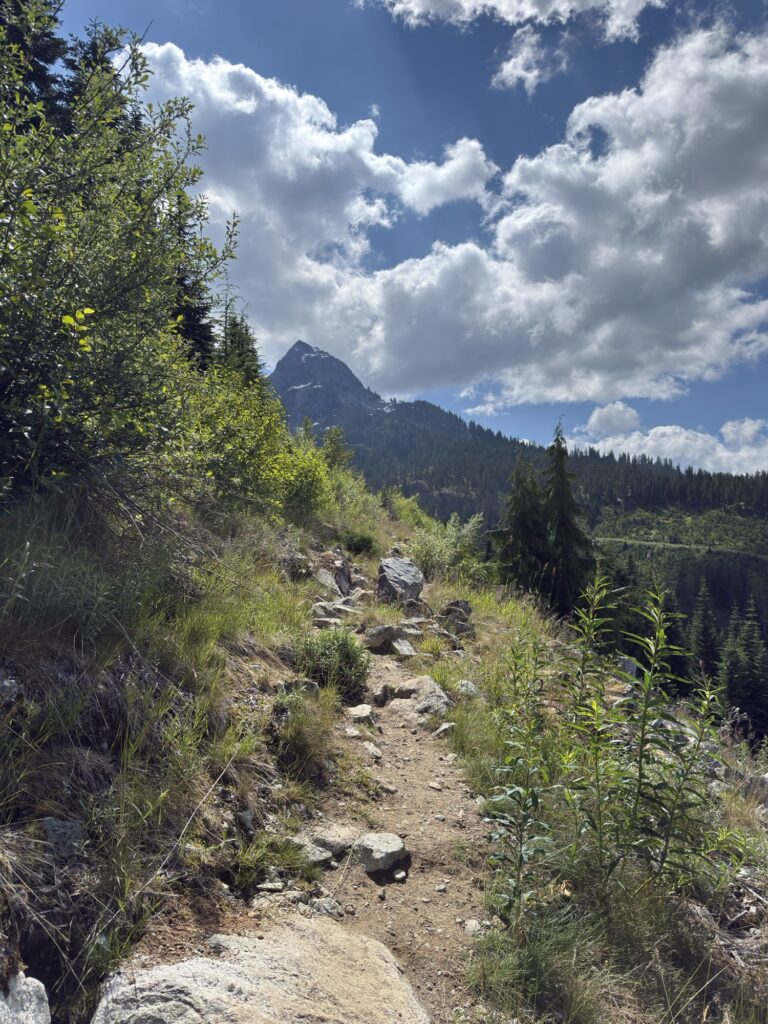
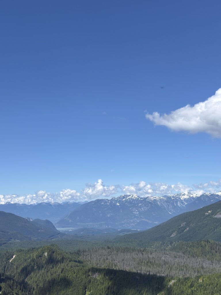
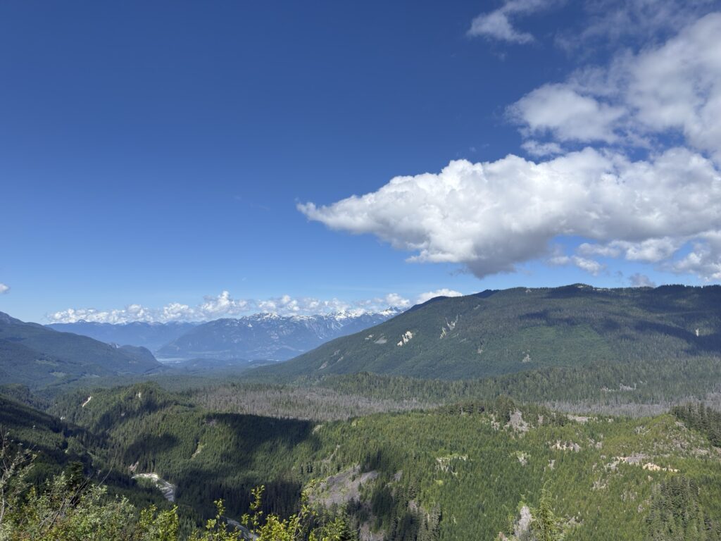
There are several creek crossings but the trail is very well maintained with wooden platforms and bridges helping you along. Around the 4 KM mark, there is a great view of the Tantalus mountain range and of Squamish where you realise just how steep of a drive you did to make it to the trail! As you continue along this ridge with the scenic views to your right, the path becomes pretty narrow and is very overgrown in parts, so you will find yourself having to stand right into the bushes to let others pass by.
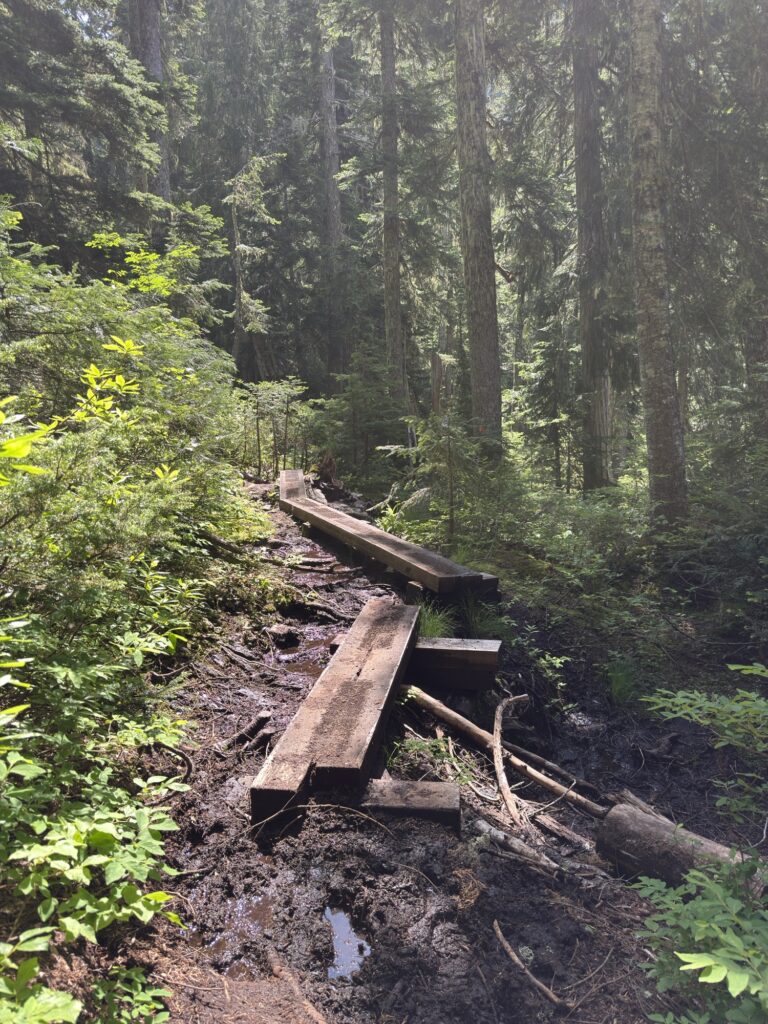
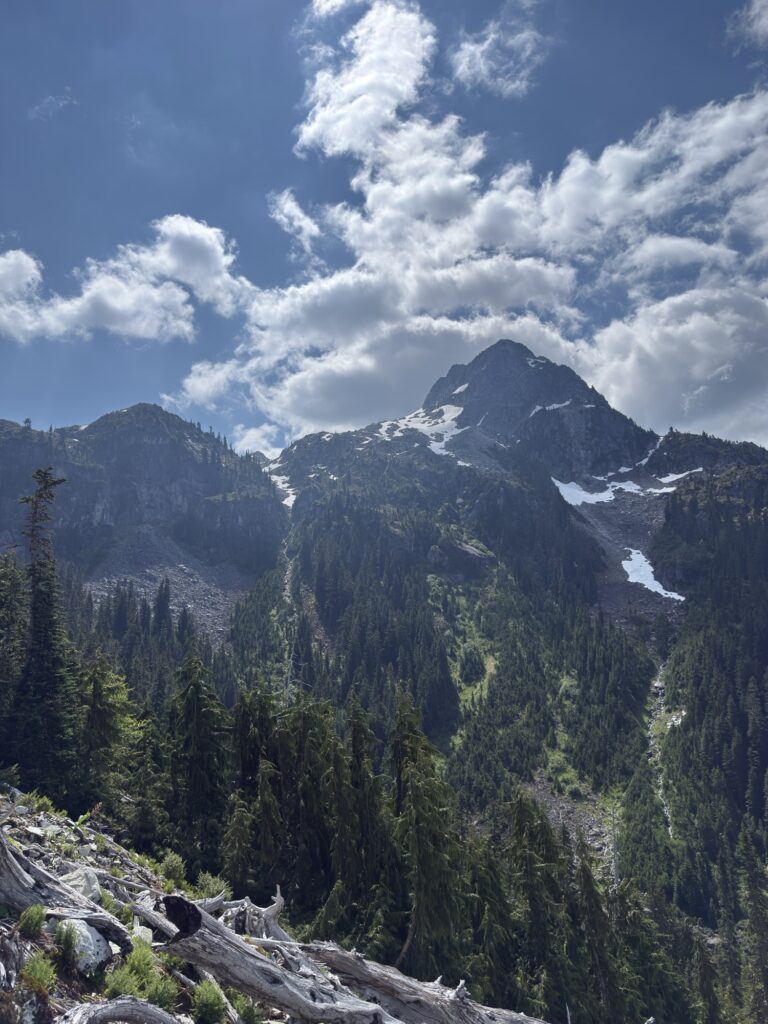
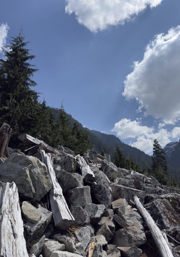
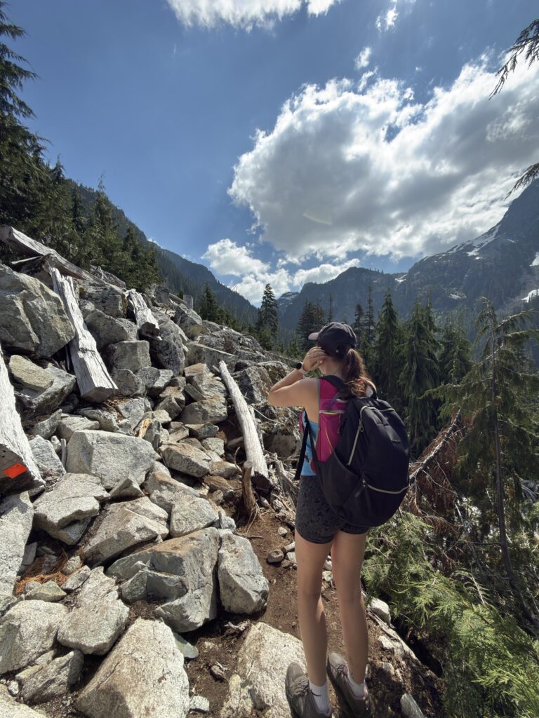
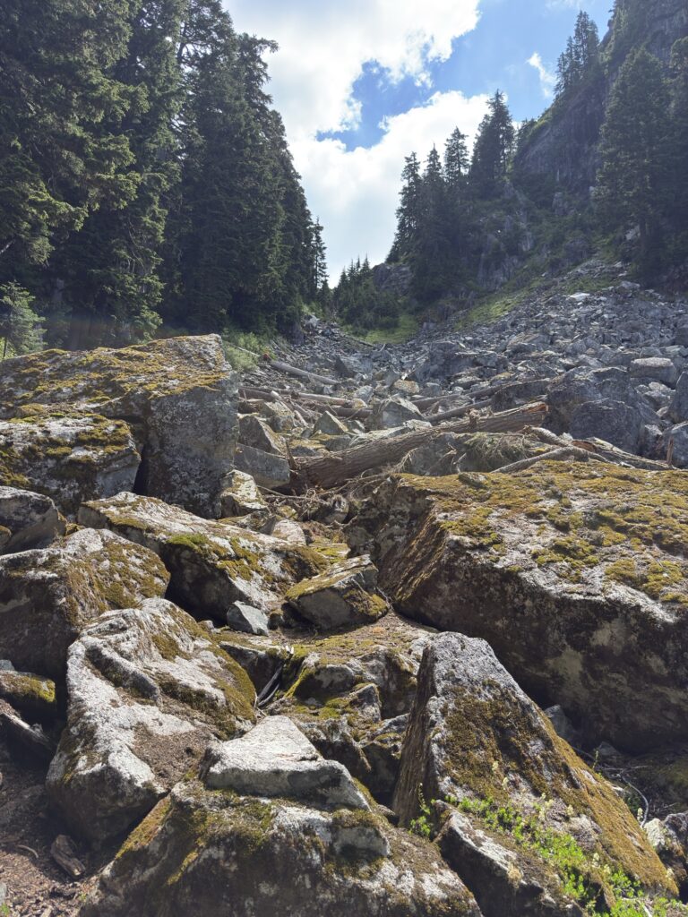
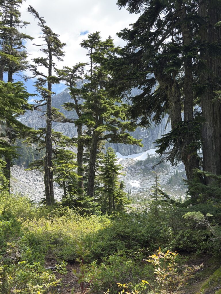
Eventually, you will reach a boulder field that is pretty straight forward as the route is well-marked by orange tags. After the boulders, the trail enters back into a woodland which gets relatively steep but again is aided by wooden platforms to help you cross the muddy terrain and creeks. The most difficult part of the hike is right here at the end, when you exit the trees and face the boulder chute. This is the most technical part and it is steep, but it’s only about 1 KM of climbing.
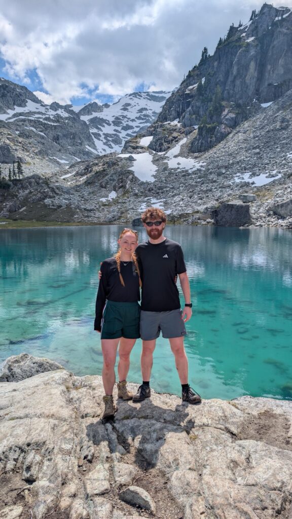
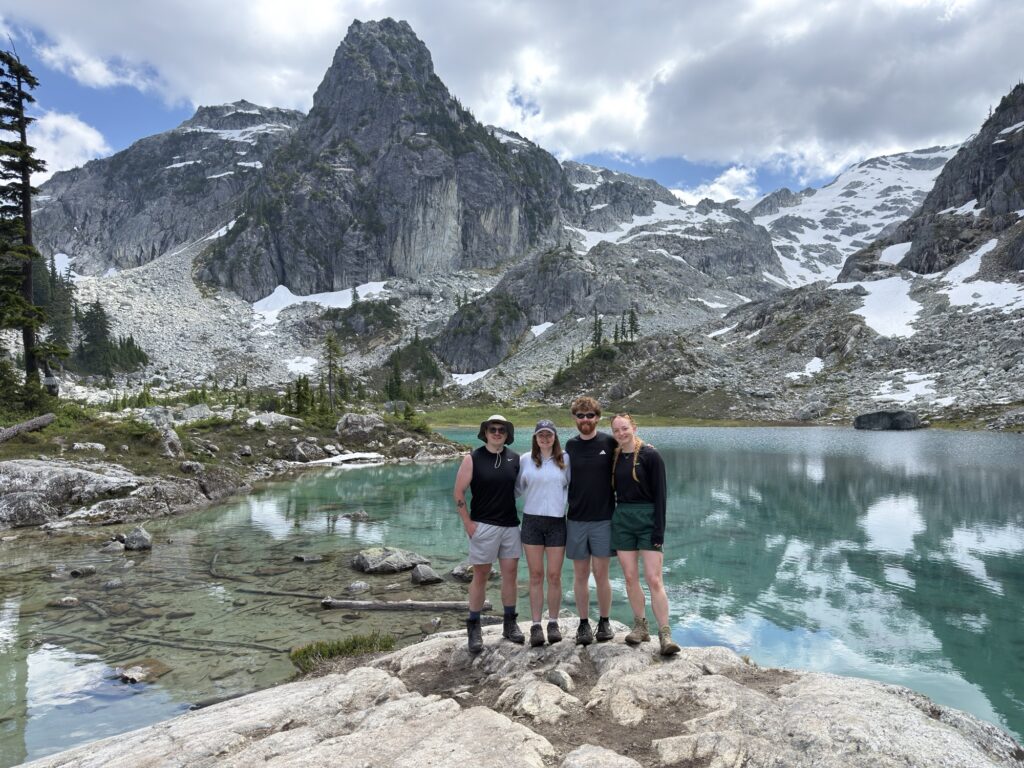
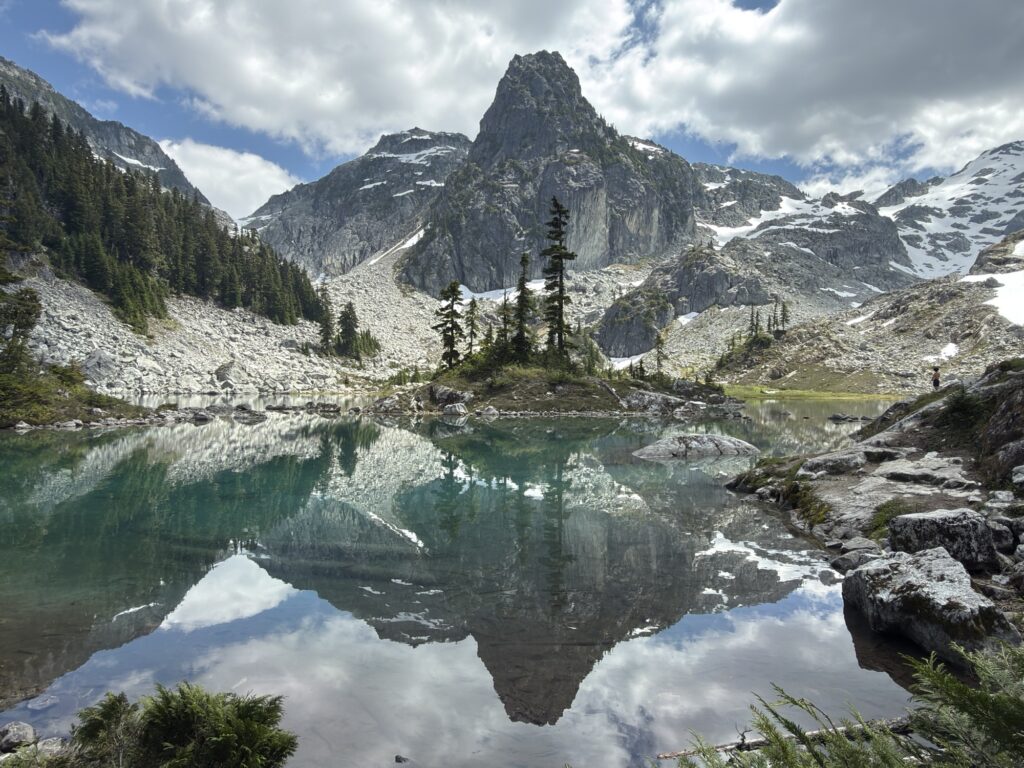
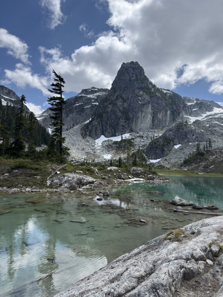
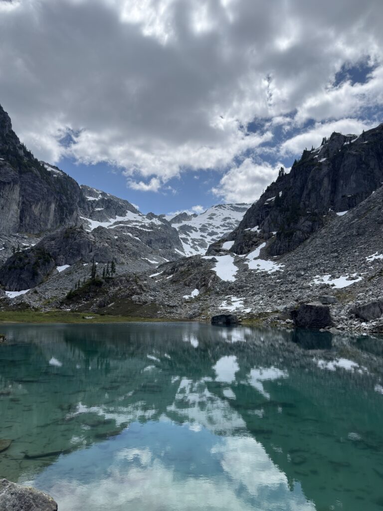
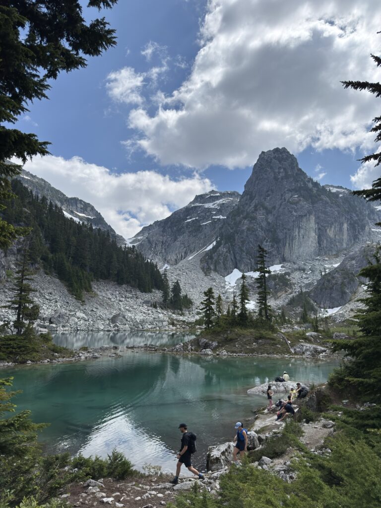
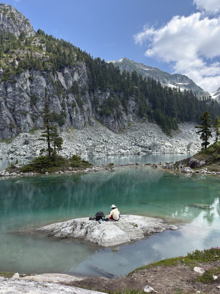
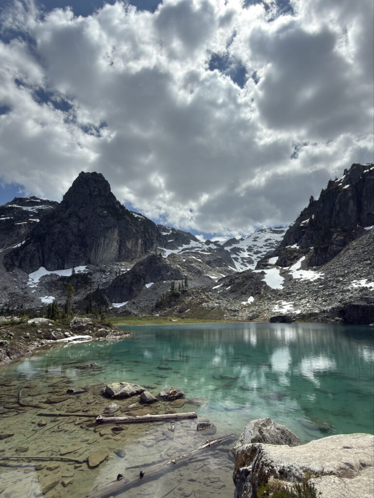
Once you make it to the top, you will be rewarded with a stunning turquoise lake surrounded by gorgeous ridges.
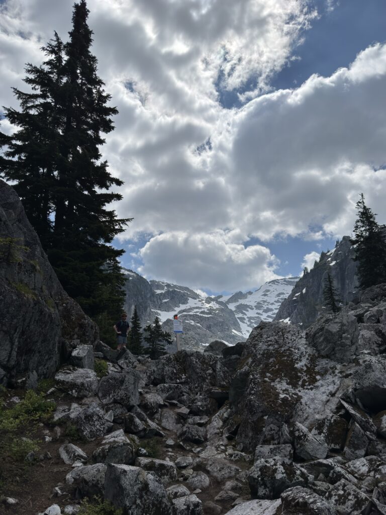
The tent pads are located on the far side of the lake, so your hike continues along the perimeter of the lake if you intend to stay overnight. Some sites are reservable through the BC Mountaineering Club and other sites are cash-operated upon arrival.
Tips / Advice
There were lots of mosquitoes at the lake when we did this (July) so be prepared or save it for later in the summer
There are lots of water sources on this trail so if you’re camping, be sure to pack your water filter
There is an outhouse at the trailhead and at the lake (BYO toilet paper)
There is a reservable hut you can stay in (8-person, around $300/night)
There is limited cell service down the FSR and on the majority of the trail